URGENT UPDATE: Snow is forecast to blanket the North East as a 24-hour snow and ice warning kicks in starting Saturday, January 3, 2026. The Met Office has confirmed that significant snowfall will affect major cities, including Newcastle and Sunderland, leading to potential travel disruptions.
As temperatures plunge, the region is bracing for a wintry start to the New Year. Snow showers are expected as early as Friday, January 2, with light snow predicted to begin around 1 PM in Newcastle and around 12 PM in Sunderland. The temperature is forecast to reach just 2°C, but wind chills will make it feel like a biting -3°C.
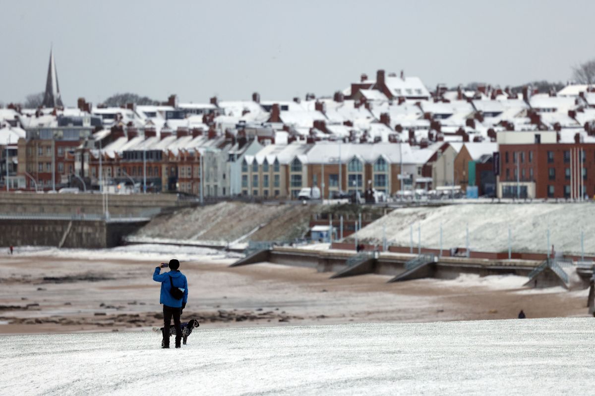
The Met Office warns of “frequent heavy snow showers” likely to disrupt road and rail services. The warning stretches along the North East coast from Seahouses in Northumberland down to Hartlepool in County Durham. Residents should be prepared for longer journey times, especially in coastal areas where sleet showers will begin around midday.
In Northumberland, the northern town of Berwick is expected to see light snow starting at 9 AM, transitioning to sleet by 10 AM. The coastal town of Bamburgh will face a mix of snow and sleet from early morning until approximately 5 PM. However, some inland areas, including Barnard Castle, are forecast to remain dry and sunny throughout the day.
With cold Arctic air dominating the UK, forecasters are predicting widespread frost and snow showers. Met Office chief forecaster Neil Armstrong stated, “Very cold weather will continue through the weekend, with temperatures dropping below 0°C in many areas and potentially reaching double figures below zero overnight.”
Residents are urged to stay informed about the evolving weather conditions and plan their travel accordingly, as more weather warnings are likely to be issued in the coming days.
Stay updated on the latest developments as this winter weather unfolds, and make sure to share this urgent news with family and friends who may be impacted.